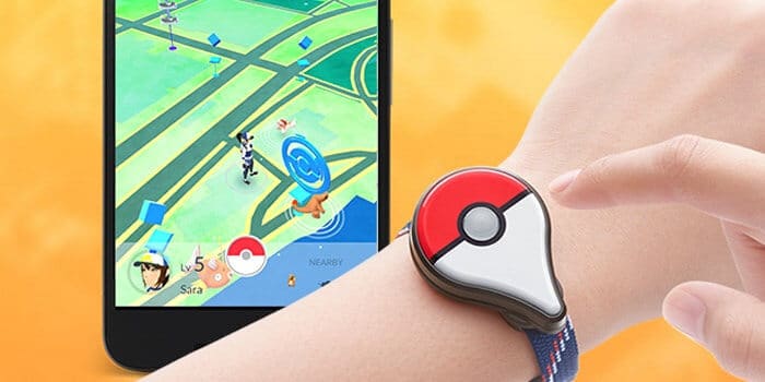
Over the last couple of weeks, Pokemon Go has taken the US and UK by storm. It quickly became the #1 app for iOS users and surpassed Twitter’s daily users. The premise of the game is to physically go to locations and catch Pokemon. Using augmented reality technology, Pokemon shows up on a real map of locations that may include parks, malls, churches, restaurants and neighborhoods. Businesses have already begun to look for ways to monetize from this craze like T-mobile offering free data to Pokemon Go play customers.
Whether the software company, Niantic, anticipated the immediate success of the Pokemon Go app, they opened the door to the value of user-generated geospatial data. The capabilities and sheer volume of this data, which collects a user’s specific geographical location at a specific time generated by the use, is going to take data visualization to a new level. Data visualization tools and dashboards are going to need to be constructed in a way to handle this demand. We are starting to see more of these demands already beyond software and app companies. Industries such as healthcare, insurance, and retailers are looking at data beyond web and social analytics, so out of the box tools and dashboards, will no longer be adequate. Real-time, user-generated geospatial data will need to be integrated with other data.
The Pokemon Go app is going to show the necessity and the value of customized data visualization especially with geospatial data. With the complexity of their data, they will need an agile data visualization tool and dashboard that will allow flexibility to display the data without compromising the integrity of the data. This is going to raise the level of expectation for companies and organizations with their own data. In order to stay competitive, whether in the retail, insurance or another industry, companies will need to start valuing geospatial data and working it into the data visualization dashboards. At the same time, data visualization agencies will need to raise the bar on their ability to deliver solutions that meet these demands.
Are you collecting geospatial data? How are you presenting it to your stakeholders? We would be happy to start a conversation with you regarding geospatial data visualization